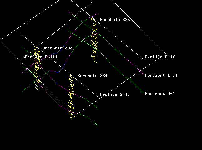
It is easy to combine the vertical log diagrams and horizontal seismic profiles in whole volume for the oil and gas prospecting purposes.
Lithological properties or other geological parameters may be overlaid directly on the surfaces of the seismic horizons.
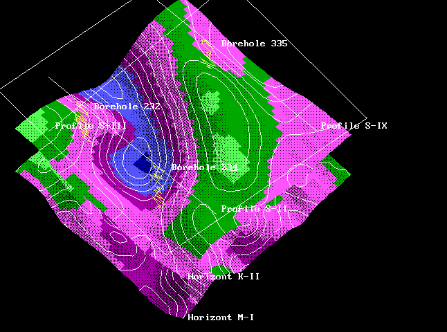
Any 3-D surfaces and planar sections may be combined with the set of 2-D graphs or diagrams. Special methods of visualization, scales, colors and additional signs may be defined for each of them.
![]()