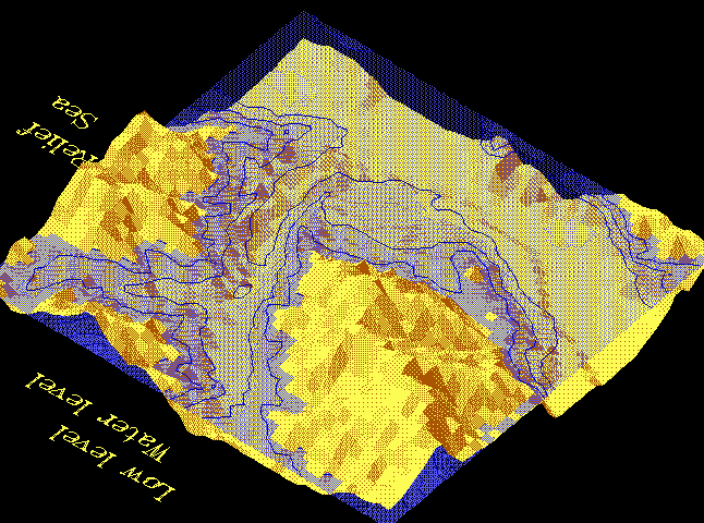
Here you can see, how the shaded land relief can be combined with the transparent depth map.
You can build the 3-dimensional structural complex model of any geological object with the separate boundaries and geological bodies.
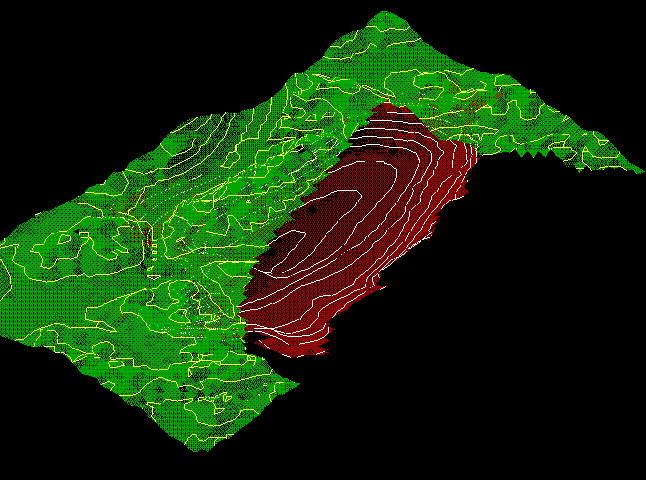
You can see sun rays through the half-transparent geological boundaries surfaces, and display any lithologic or geochemical parameters directly on them.
![]()